
Amherst Previous Residents by Era
The first question is the era. Today’s parcel card can identify the land reference and a recorded sale. The Registry then carries title backward, while directories and census records provide selected household snapshots. Amherst has strong local-history repositories, but their runs contain gaps and address sections vary by volume. The table keeps the sources in their proper roles so an Amherst address history does not turn one piece of evidence into a claim it cannot support.
| Source | Years It Covers | Where Held | What It Shows |
|---|---|---|---|
| Hampshire Recorded Land | Index and linked images from 1874; property searching more complete after 1928 | Hampshire Registry of Deeds and MassLandRecords | Recorded transfers, parties, dates, book/page or document references, and legal descriptions |
| Registered Land and plans | Registered Land from 1903; Recorded Land Plans from 1800; Registered Land Plans from 1899 | Hampshire Registry plan and land search | Certificates, plans, lots, roads, and map context |
| Amherst directories | Verified broad run 1869–1975; many digitized volumes 1889–1923; selected State Library years | Jones, Historical Society, State Library, and library databases | Dated name and address entries, with address or house-guide use only where a volume has it |
| Federal census | 1790–1950 under the federal 72-year access rule | NARA, Census sources, and Jones genealogy holdings | Household composition and residence at the census date |
| Amherst tax and newspaper records | Tax records from the mid-eighteenth century; newspapers from 1786 with title-specific gaps | Jones Boltwood collection and related holdings | Names, parcel and tax clues, notices, obituaries, and local context |
| Amherst Sanborn map | August 1910 | Library of Congress | Building footprint, construction or use clues, and street continuity, not a name list |
Start with the most recent confirmed parcel record when the question concerns title. Start with a date-specific directory or census source when the question concerns a past household. If a collection lacks the needed year, record that gap and move to the next independent source rather than filling it with assumption.
Amherst Parcel Start for Past Residents
Amherst Property Search begins the backward trail with Street and House # in address mode, Last Name in owner mode, or Parcel ID in parcel mode. The result links parcel ID, address, property card, use description, and recent assessments. A property card can include owner names, situs and mailing address, sale history, assessment history, permit or improvement history, structural information, sketch, and map links. Copy the parcel ID, map or lot reference, sale date, and owner spelling before leaving the result.
Keep the three address concepts separate. The situs is the parcel location. A mailing address is where assessment correspondence is sent and can be elsewhere. A deed’s legal description identifies the land for title purposes and can omit a familiar street number. The Amherst Maps parcel viewer adds map, block, lot, PIN, street, number, owner-name, and property-card fields that help make that bridge.
Amherst Maps is a strong beginning, not a final answer about who lived in the building. Its public property history begins in 2002, and the GIS carries a legal-accuracy disclaimer. Compare it with the Registry image and the date-specific household sources before drawing a conclusion about previous residents.
Amherst Previous Residents Deed Chain
The Hampshire Registry of Deeds provides free search and image viewing. For a current Amherst owner, search as grantee, filter to Amherst, and work near the assessment sale date. The deed image may identify the seller, buyer, deed type, recorded date, book and page or document number, legal description, plan reference, and prior deed references. Follow the seller backward as the next grantee. That repeated role change is the core title method.
- Find the current Amherst parcel card and write down the parcel ID, current owner, sale history, map or lot reference, and situs.
- Search the current owner as grantee in Hampshire Recorded Land, narrow with Amherst and a recorded-date range, then open the most likely deed image.
- Capture grantor, grantee, date, book/page or document number, deed type, legal description, plan or certificate reference, and any cited prior instrument.
- Search that deed’s grantor as grantee for the earlier acquisition. Repeat the same capture for each prior transfer.
- When a transfer is tied to a death or estate rather than an ordinary deed, check the Hampshire Probate and Family Court docket and request the official public file from the Register’s Office if available.
- Reconcile each older legal description and plan with the Amherst map, especially where a parcel split, combination, road change, or number change may interrupt the chain.
- Grantor
- The party conveying an interest in a recorded deed. In a backward search, the grantor in the later deed is often the next party to find as grantee.
- Grantee
- The party receiving the interest in a recorded deed. The current owner is commonly searched in this role to locate an acquisition.
- Chain of title
- The documented sequence of recorded transfers and related instruments for the same land, checked through parties, dates, legal descriptions, and plan references.
- Legal description
- The land description in a deed or plan. It is more stable than a street number when old address information is absent or changed.
Note: A probate filing can explain an estate transfer that does not appear as a conventional sale in the deed sequence.
Amherst Previous Residents Before 1928
The Registry’s coverage has a key Amherst transition. Recorded Land index entries with linked images reach back to 1874, but books 936 and earlier contain only basic document, book/page, date, document type, and party fields. They lack street information and marginal references. After January 1, 1928, the Registry offers name, book/page, document number, property, and recorded-date search paths, while still warning that not every deed contains a property address.
For an earlier record, use Search Criteria, Recorded Land, and Unindexed Property Search to reach the image by book and page. The Hampshire Registry search instructions describe this route and advise recording the search date because database coverage can change. A blank property field before the cutoff is not evidence that the place did not exist or lacked a household. Search the parties, read the legal description, and work from the prior book/page reference instead.
Amherst Address Records and Plans
Plans can hold the bridge when a deed gives boundaries but no street number. Hampshire Registry instructions identify AMIDX as Amherst’s map index code and AMAS as its assessor-map code. Use Plans, Book (Year) Search, enter the code, select the result, and view the image. The instructions also identify the 1863 Beers Atlas of Hampshire County at Plan Book 2, Page 172, with 35 pages. Those references are useful for comparing an old lot or road with the modern parcel map.
Recorded Land Plans are indexed with images back to 1800, and Registered Land Plans reach 1899. Registered Land itself is indexed with images back to 1903 and can be searched by owner, document number, book/page, certificate, address, or recorded date. The correct land class and plan reference matter. A result that looks similar by street name may concern a different parcel.
Amherst Past Households by Date
Title does not identify every past household. Pair a confirmed deed period with a dated directory, then use a census record for the same era where available. Amherst directory evidence is substantial but not seamless: Massachusetts Historical Commission material cites a broad 1869–1975 run; the Amherst Historical Society links many volumes from 1889–1923; and the Massachusetts State Library lists selected years, marking some with an asterisk for a house guide. An asterisk means the listed volume contains a house guide, not that every Amherst year has one.
- Choose a directory year near the transfer or address date and copy the exact spelling, initials, address, relationship notation, and any source abbreviations after checking that volume’s key.
- Check an address or house-guide section only if the specific Amherst volume has one. Reverse or criss-cross material is a separate format, and exact local years need repository confirmation.
- Pair the dated entry with an open federal census year: 1900, 1910, 1920, 1930, 1940, or 1950. The 1960 census is not generally open until 2032 under the 72-year rule.
- Compare the household snapshot with deed, assessment, permit, newspaper, cemetery, obituary, or probate dates. Mark every missing directory year instead of turning silence into a departure date.
The historical collections themselves have separate access details on the Amherst city directory page. For a backward address trail, use them as a dated household check after the parcel and deed work, not as a replacement for either.
Amherst House History at Jones
Jones Library’s Boltwood Local History and Genealogy Collection supplies the local fallback when a Registry result or directory scan leaves a gap. Its holdings include Amherst tax records from the mid-eighteenth century, newspapers from 1786, maps, manuscripts, census material, vital records, family histories, and local clippings. The Jones genealogy and local-history page identifies the collection and its research channel.
Jones Library’s collection page documents those local-history holdings.
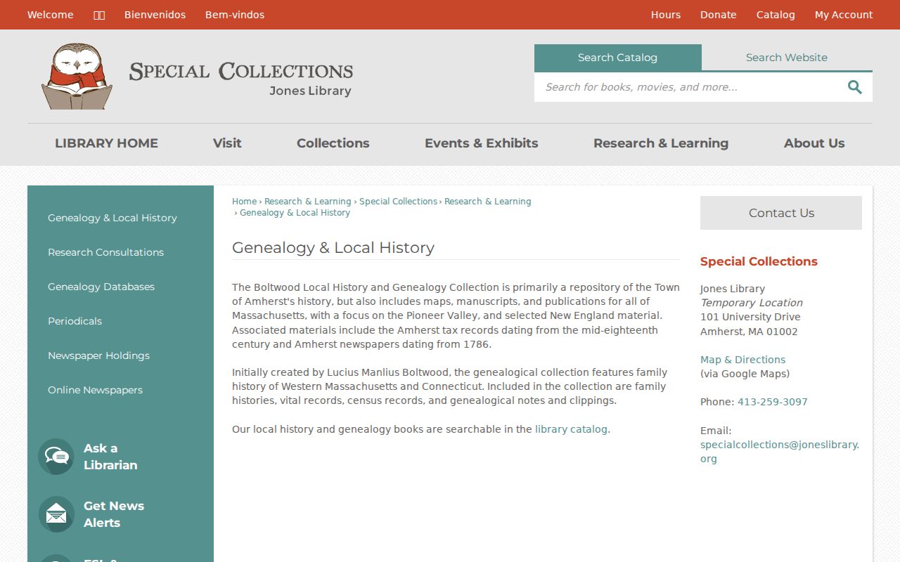
The Boltwood collection is a research fallback for Amherst tax, newspaper, map, and family-history clues when an online index stops short of the needed period.
Access has changed during the Jones renovation. The former 43 Amity Street building closed in May 2025; the library operates temporarily at 101 University Drive, and Special Collections has resumed by appointment. Jones Library’s building update estimates a 2027 return after an 18–24 month project period. Confirm the appointment arrangement before an in-person visit, especially when a prior resident trail depends on a local file or a directory volume not available online.
The Library of Congress house-history guide presents directory, map, and related-record methods that parallel the careful Amherst sequence of parcel, deed, map, and dated household sources.
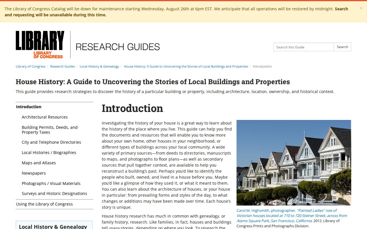
Use the guide’s methods with Amherst custodians and verify every local date against the original record or image.
Amherst 1910 Building Context
The Library of Congress Amherst Sanborn map is a free public-domain August 1910 set of 18 sheets. It can show a building footprint, construction or use clues, and street continuity at that date. It does not name every person at the address. For previous residents, its value is contextual: compare the mapped structure with the deed legal description, plan, property-card history, and a directory or census entry from the surrounding period.
Amherst’s record history rewards that layered approach. The town separated from Hadley in 1759, later gained a railroad station in 1853, and preserved a wide range of local tax, newspaper, and directory material. Still, gaps remain. The research found a January 1954 gap in the Amherst Record, missing directory years, and the pre-1928 deed-index limitation. A gap should stay visible in the house history rather than being supplied with a plausible story.
Note: The Sanborn sheets describe the built environment at one date and should be read beside named records for any household conclusion.
Amherst Address Continuity Checks
Old street names and numbers need a continuity check before they are used to join previous residents across sources. The official Amherst street map gives current roads and address numbers. The Town’s Street History application is intended to provide thumbnail history for many names, although its accessible response during research was payment-required. Detailed public examples of local renumbering were not located.
Use the practical bridge: street and number, then parcel ID or map/block/lot, then deed legal description or plan. Keep separate notes for the USPS label, municipal situs, Hampshire County description, and legal description. Amherst, Hadley, and UMass address labels can differ across records, and a map or plan may be needed where an address is ambiguous. Never assume the Registry’s property field is complete for an older deed.
Amherst Previous Residents Limits
Past-resident research is strongest for house history, family history, estate work, and documenting a property’s record trail. It cannot show every person connected with an address. Assessment data identifies an ownership interest, not all occupants. The statewide voter tool is not a public browse list; confidential voter records and Address Confidentiality Program records are protected. Restricted vital, juvenile, sealed, impounded, adoption, and protected court material remain outside ordinary searches.
When the official trail stops, ask the Registry about book/page or unindexed records, contact Jones Special Collections for directory, tax, or newspaper guidance, visit the appropriate court public terminal, or make a narrow request under Massachusetts Public Records Law, M.G.L. c. 66, § 10. The custodian can explain the held record, available format, and any lawful withholding.
Lawful personal use. Amherst previous-resident research belongs in personal, family-history, estate, and property-history work. Using records to stalk, harass, or intimidate a living person is unlawful under M.G.L. c. 265, § 43.